
The North-East is one of Nigeria’s six geopolitical zones, a grouping used in political discussion, public administration and regional planning. It comprises Adamawa, Bauchi, Borno, Gombe, Taraba and Yobe states.
The name describes a broad region, not a single state, city or local authority. When a report identifies only the North-East, it does not establish which of its six states is involved. That distinction matters when interpreting information about health, security or public services.
Location and landscape
The region occupies Nigeria’s north-eastern corner, with international borders adjoining Niger, Chad and Cameroon. Its landscapes vary considerably, from the dry areas around the Lake Chad basin to savanna, river valleys and highlands farther south.
Borno and Yobe include areas within the Sahel, the semi-arid belt south of the Sahara. Rainfall generally increases towards the southern parts of the region, supporting different crops and vegetation. The Benue River passes through Adamawa and Taraba, while Taraba also contains the Mambilla Plateau.
These differences shape daily life. Water availability, grazing conditions, roads and the timing of the rainy season influence where people settle, how they farm and how goods reach markets.
Six states and important centres
The six state capitals are Yola in Adamawa, Bauchi in Bauchi, Maiduguri in Borno, Gombe in Gombe, Jalingo in Taraba and Damaturu in Yobe. Each serves as a centre for government, commerce and services within its state.
Maiduguri is a major commercial and educational centre with longstanding connections to the Lake Chad basin. Other towns, including Mubi, Potiskum and Wukari, also have important roles in regional trade and community life.
The North-East is not a separate tier of government. Its states have their own governors and legislatures, while local government areas provide another level of administration. Federal institutions also operate across the region.
People, languages and history
The North-East is home to many ethnic and language communities. They include Kanuri, Hausa, Fulani, Babur and Bura, Marghi, Tangale, Jukun, Mumuye and numerous others. No single identity captures the whole region.
Hausa is widely used as a shared language, alongside local languages and English, Nigeria’s official language. Islam and Christianity are both practised, while indigenous religious traditions also form part of the region’s cultural heritage.
The area has deep historical connections to trade, scholarship and political organisation across the central Sudan, the historical belt south of the Sahara. The Kanem-Bornu state tradition is especially important to understanding Borno and its links with neighbouring territories. Other parts of the region have distinct histories of kingdoms, emirates and local communities.
Livelihoods and natural resources
Agriculture supports livelihoods across much of the North-East. Farmers grow crops such as millet, sorghum, maize, rice, cowpeas and groundnuts, with production varying according to rainfall, soil and access to irrigation.
Livestock rearing, fishing, trading and small businesses are also important. Fishing is associated with Lake Chad and other waterways, while markets connect rural producers with towns and cross-border trade networks.
The region also contains notable natural attractions, including Yankari Game Reserve in Bauchi and parts of Gashaka-Gumti National Park in Adamawa and Taraba.
Development and public services
Access to healthcare, education, clean water and transport differs widely between urban centres and remote communities. Environmental pressures, including drought, flooding and land degradation, can place further strain on livelihoods.
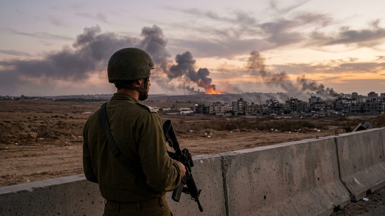
Insurgency and insecurity have caused displacement and disrupted services in parts of the region, particularly around the Lake Chad basin. These effects are significant but should not be treated as identical across all six states.
For any assessment of local conditions, the state, local government area and community provide essential context. A regional label alone cannot show where a problem exists or how widely it extends.